Geology
The Guadalupe Mountains are part of the geological area known as the Permian Basin, an inland sea connected by a narrow channel to the surrounding ocean. The Delaware sea covered the present-day Guadalupe Mountains National Park where the deposition of the Captain Reef system formed about 275 million years ago. The Capitan Reef is two to three miles wide and almost 2000 feet thick and is one of the best-preserved fossil reefs in the world today:

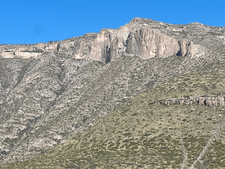
Multiple layers were formed, some of which have been eroded, revealing the features shown in reddish orange:

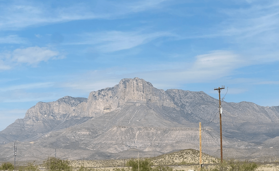
The Mountains
Here is a view of the southern tip of the reef which contains the highest part, including Guadalupe Peak, at 8,751 ft, the highest point in Texas.
I stayed at Pine Springs campground, at an elevation of 5,800 feet, which is at the open end of Pine Spring canyon; the closed end of the canyon passes through Devil’s Hall.
Spectacular layered geological features are revealed on each side of the canyon:
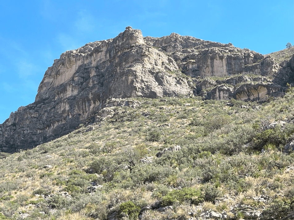
The strata in some of the geological blocks are revealed:
Devil’s Hall
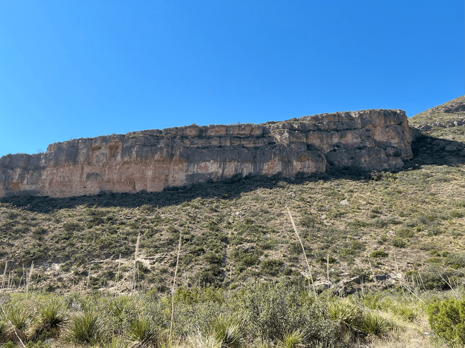
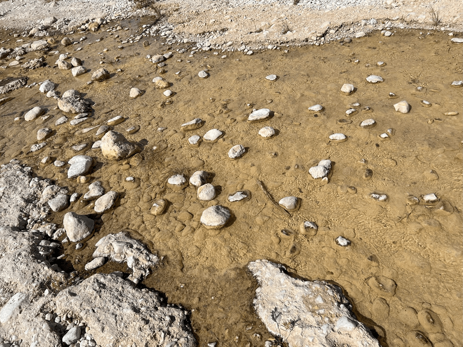
The walk up to Devil’s Hall follows along the side of a riverbed (dry at this time of year), the sides of which reveal complex strata:


Closer to Devil’s Hall, the rocks are heavily layered:

To get to the end, a lot of scrambling over boulders in the dry riverbed was involved (hard on my old knees):
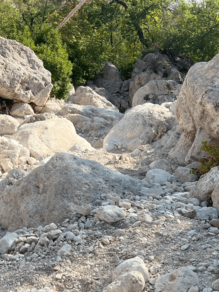
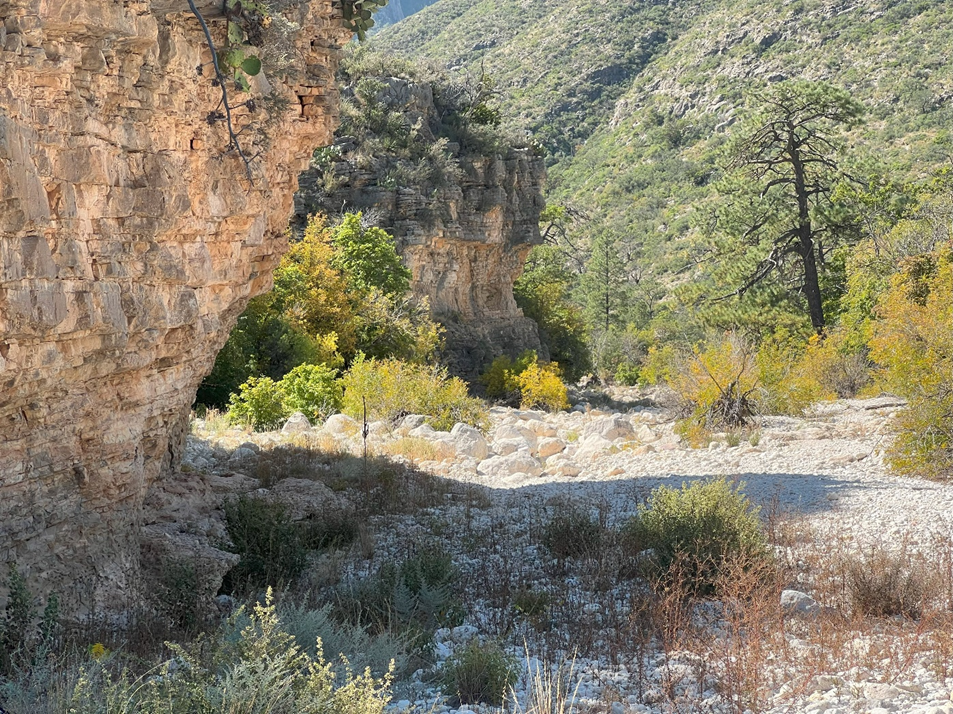
The destination is the entrance to the steep narrow canyon:

Devil’s Hall—cool, deep and narrow:

An interesting feature appears about halfway up the surrounding ridge:

The vegetation on this walk is fairly typical of the Chihuahuan Desert with yucca, agave, cacti, sotol, ocotillo and century plants so familiar to residents of east and central Texas. I will describe this ecosystem when I visit Big Bend National Park this winter.
McKittrick’s Canyon
My last hike was to a lovely oasis surrounding a flowing stream of clear water in McKitterick Canyon. The path leads to a stone lodge built by Wallace Everette Platt, a pioneering petroleum geologist who one owned much of McKitterick Canyon. His donation of his holdings formed the core of the Guadalupe Mountains National Park.
The path starts at the McKittrick Canyon Visitors Center; here, the vegetation is characteristic of the Chihuahuan Desert. The path is initially along a dry riverbed:
Proceeding along the path, the vegetation becomes denser and a flowing stream of clear water is encountered:
This stream is surrounded by denser vegetation, including Chinquapin oak (Quercus muelenbergii):

Texas madrone (Arbulus xalpensis):

A Ponderosa pine (Pinus Ponderosa)—more than 30 ft high:

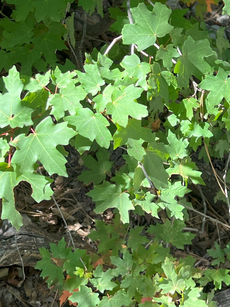
And finally, canyon maple trees (Acer grandidentatum):
With some of the trees starting to show fall colors:

Along the riverbed was a bird that looked like a hermit thrush (Catharus guttatus):

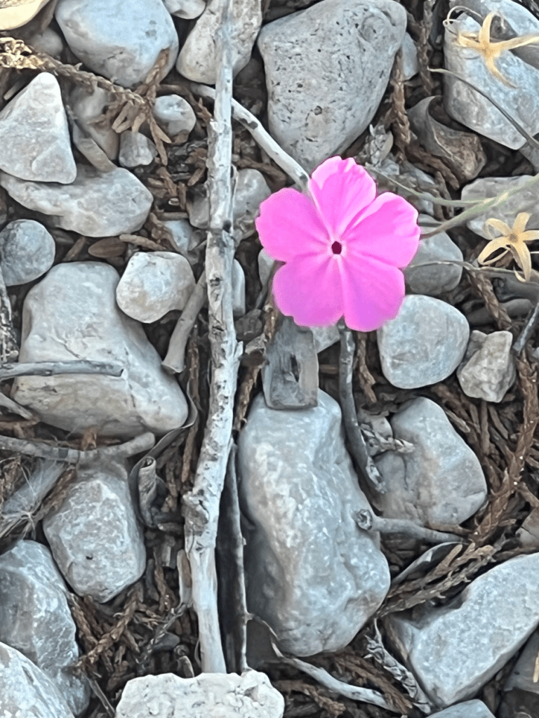
Nearby, poking out of the rocks, was an annual phlox flower (Phlox drummondi):
Finally, I reached Pratt’s cabin and had a pleasant picnic:
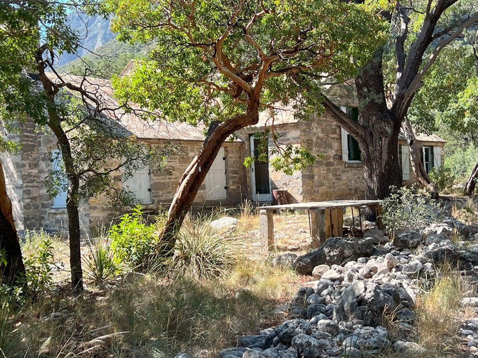
The views from the cabin were inspiring; it’s easy to see why Pratt chose to settle here.

Farewell
This is my last trip to a national park for a while; I’m returning to San Antonio for the winter. I may write an entry on the many lessons that I have learned adjusting to living in a Winnebago Revel.

Leave a comment